Drainage in Catterick
Catterick is home to one of the largest military bases in Europe. It sits next to a much older village and open fields. Because the area mixes army housing with older and newer homes, the drainage picture changes street by street.
The Ministry of Defence runs its own drainage network for barracks, mess halls, and other buildings on the base. Since that network meets the civilian system run by Northumbrian Water, the join between the two can be a weak spot. This matters most where the base has grown onto older, village-era pipes.
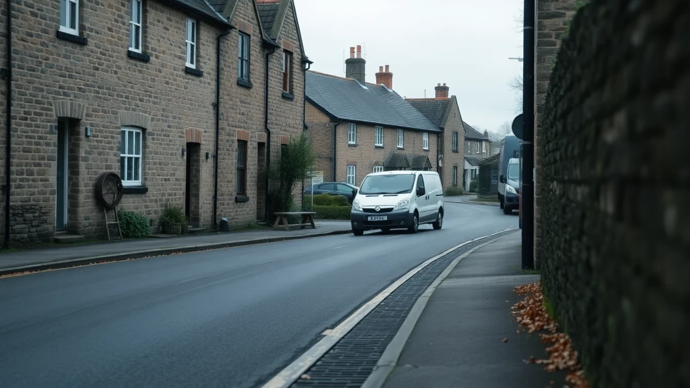
Catterick Village came long before the base, by centuries. Stone-built homes near the green and the old bridge still run on clay and stone drains. Since the village sits close to the river, that adds flood risk on top of normal wear. Colburn, now closely tied to the base, has homes from several eras side by side, each with its own upkeep needs.
The River Swale shapes this whole area, just as it does at Richmond upstream. It rises fast after rain in the Dales, so flood risk reaches well past the homes right on the bank. Hipswell and Scotton sit higher up and drain better, yet age still wears on their pipes too.